|
|
|
 |
General Overview of Japan Tsunami Debris |
Islands4Kids concluded the Japan Tsunami related marine debris simulation in April 2018, after 6 years and 9 months of research.
All of the information utilized for the month by month course simulation was referenced from NOAAs Ocean Surface Current Simulator (OSCURS).
Since this simulation results are based on NOAA’s ocean current tracking data, and other essential factors as wind and ocean temperature to determine the course were not added.
However, this simulation record demonstrates a broad stroke and projection of how the tsunami related marine debris traveled the Pacific Ocean.
Through our monthly marine debris trajectory predictions, we can revalidates the general gyre course of the Kuroshio (Black Current) at the Northern Pacific Ocean.
We can also visualize the physical mechanism of how marine debris accumulates as what is known as the Garbage Patch in the middle of the Northeastern Pacific Ocean. It is created by the vortex activities of many branched off currents.
Although the total quantity of debris is small, we found twelve debris that are presumably linked to the Japan tsunami of March 11, 2011.
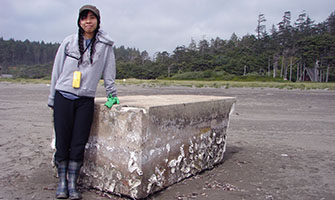
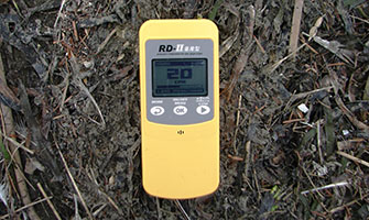
Due to the impact of the Fukushima Daiichi nuclear power plant accident, we also measured the radiation dose of the air, beach sand, ocean water, and seaweeds washed ashore at Ocean Shores. During our research, we did not identify any unusual or higher dose of radiation at all. |
| |
|
 |
 |
 |
| |
|
Japan Tsunami Debris |
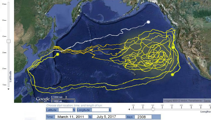
Simulation and animation were generated by Islands4Kids
|
Simulation Data: Courtisy of NOAA |
The highlighted area shows the highest density of Japan tsunami debris as of
July 5, 2017, 2308 days after the tsunami occurred. |
| March 11, 2011: A magnitude 9.0 earthquake struck Japan, triggering a massive tsunami. The Government of Japan estimated in March 2012 that the tsunami swept about 5 million tons of debris into the ocean and that about 70% sank quickly. The remaining debris was dispersed far across the North Pacific, an area of ocean roughly three times the size of the lower 48 states. Some debris have already reached US and Canadian shores, and is expected to continue over the next several years. At this time, there is no way to accurately estimate how much debris is still floating - some likely sank or deteriorated. |
| |
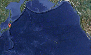 |
This animation was created by ISLANDS4KIDS to keep track of projected tsunami related debris drifting for past 6years and 4 months.
There are four different courses. Three beginning at major prefectures (Iwate, Miyagi, Fukushima) and one from the Fukushima nuclear power plant hit by the tsunami.
|
| To identify ocean currents were
referred to NOAA’s OSCURS database. |
|
|
|
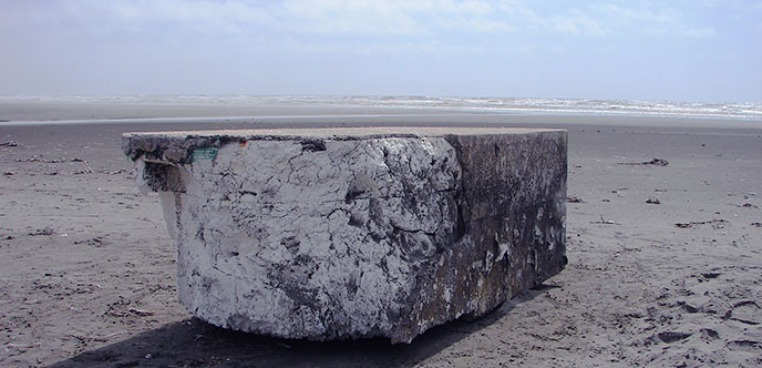
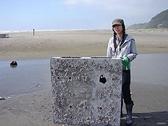
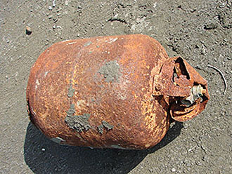
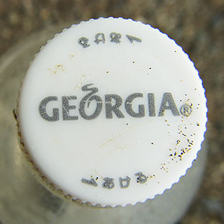
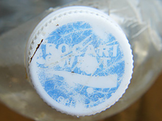
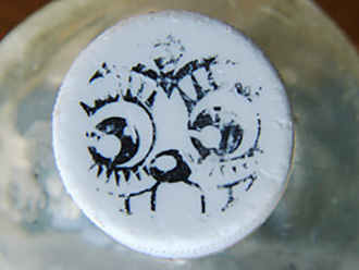
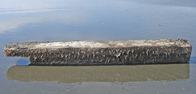
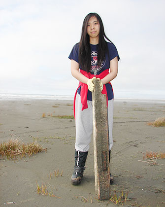
Tsunami Debris at Ocean Shores? |
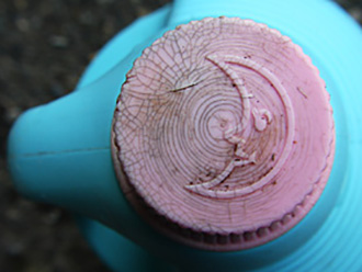
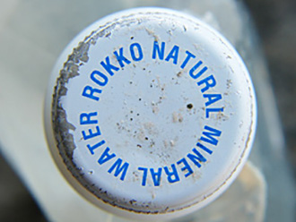
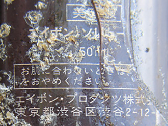
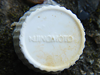
| Here are marine debris we collected that are presumably linked to the Japan tsunami of March 11, 2011. |
|
|